
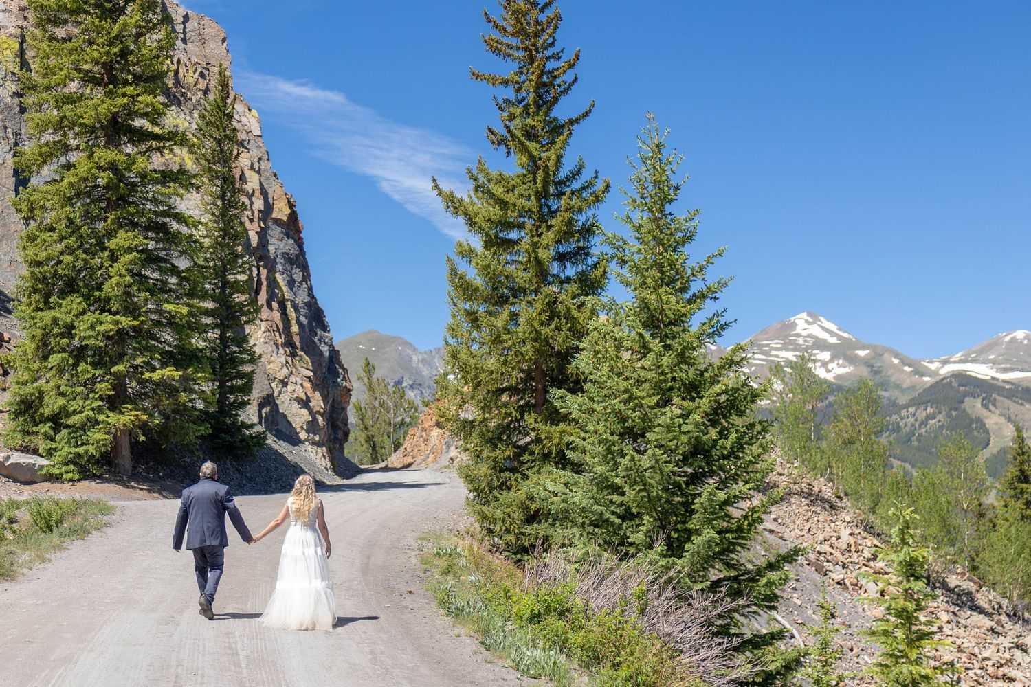
Some of the most epic views in the state are only accessible two ways: if you walk, or if you have a 4x4 vehicle. Summit County is already an amazing place to elope if you're looking for somewhere with the amenities of a ski town as well as the views, but if you're looking for something a little more rugged and remote here are some of the best back roads in the area.
1 . Boreas Pass
I'm including this one as an HONORARY BONUS 4x4 trail because I don't really count it as a 4x4 road. Sure, it's a dirt road, and it's a little rockier as you get toward the top, but in all honesty I've seen plenty of cars on this road that look like they've never seen a dirt road in their lives and still made it to the summit just fine. Despite the ease of the drive, Boreas Pass boasts some pretty spectacular views of the Tenmile Range the entire drive up. There's also a small ghost town at the top that used to be a railroad stop. The road does go all the way over to Como (near Fairplay), or you can just go up to the summit and back down to Breckenridge.
2 . Georgia Pass
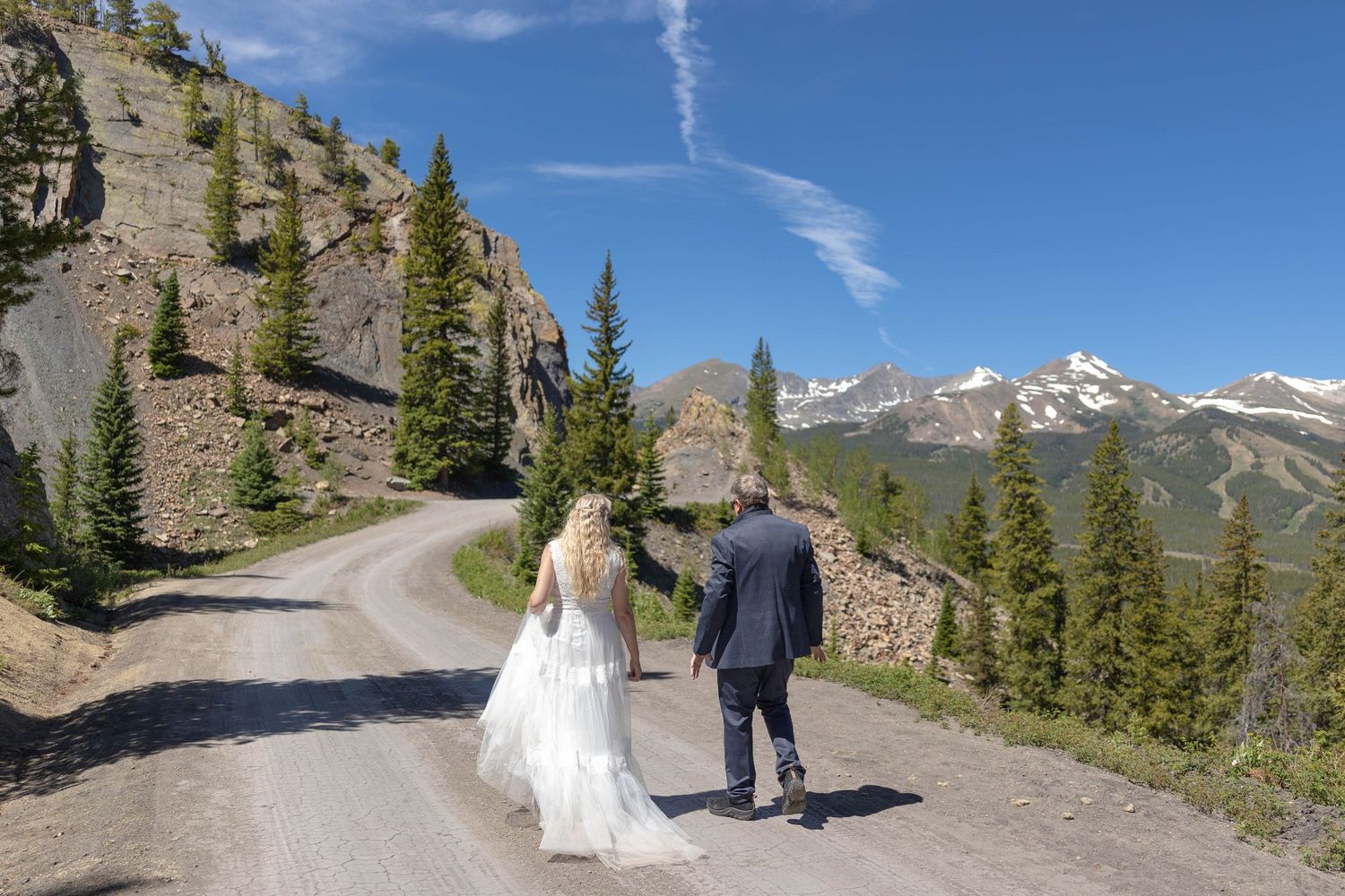
Now this is a fun one. Located past the end of Tiger Road in Breckenridge near the sled dog company, Georgia Pass winds up through pristine pine forests and past old mining ruins to the summit behind Mount Guyot. From there you can either go back the way you came or head down the Park County side to Jefferson. You WILL need high clearance 4x4 to make it to the summit of Georgia Pass, but the panoramic views and high alpine terrain are so worth it. The Breckenridge side is the more difficult drive; there are multiple water crossings and several steep, narrow turns that a double wide pickup simply won't make it through. That said, I made it about 95% of the way up the Breckenridge side in my Subaru Forester before it got to steep, but even though I know what I'm doing it still wasn't the smartest idea. Real 4x4 and high clearance are necessary, especially for the last half mile. Bonus points if you find the old Parkville Cemetary hidden in the trees, left over from when there was a mining town in the area!
3 . Mosquito Pass
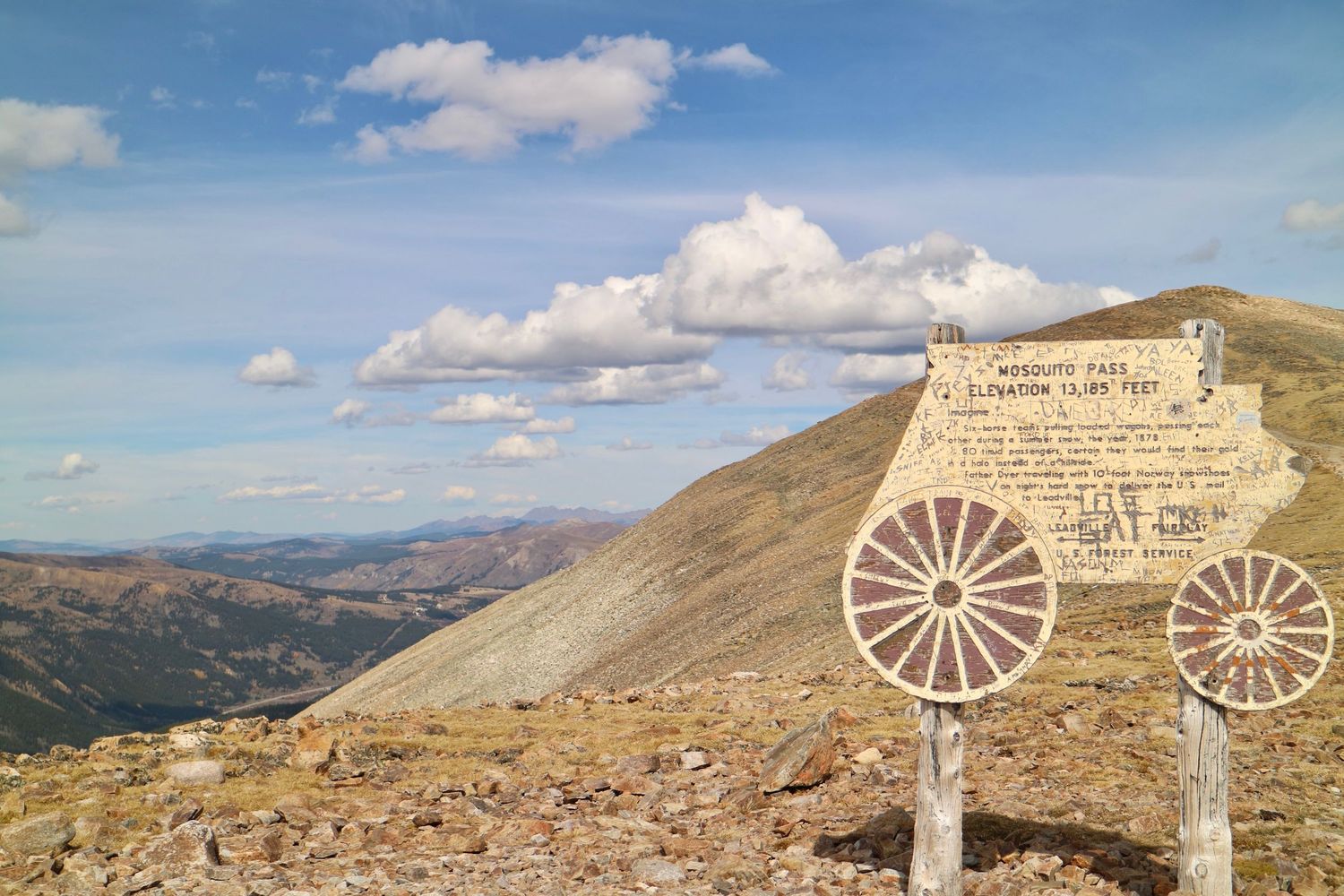
Not for the faint of heart, Mosquito Pass is a moderately difficult through road from Alma over to Leadville. It cuts right across the Mosquito Range just south of the Decalibron Fourteeners and is not something you should do in a Subaru. The pass itself is narrow and winds along steep ridges through gorgeous pine forests and alpine tundra. It's incredibly remote out here, with limited cell service- which means you need to come prepared but you're also likely to get the privacy you're chasing. The road passes by several gorgeous alpine lakes and some mining ruins before heading down into Leadville, giving you a stellar view of Turquoise Lake as you wind your way down to the town.
4 . Saints John Trail
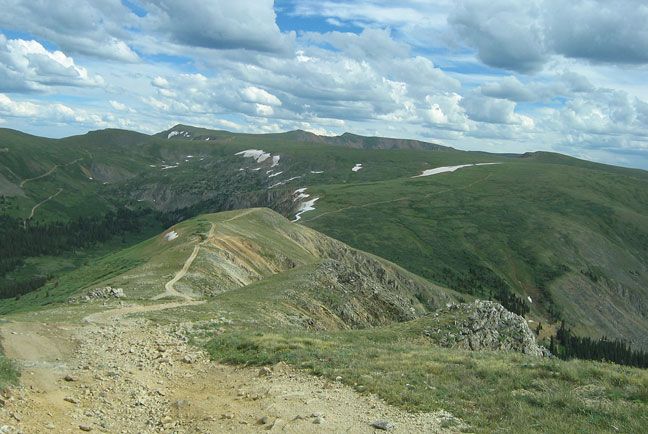
This out-and-back road leaves from the tiny town of Montezuma, located up in the mountains behind Keystone Ski Resort. At this high of elevation, the scenery is almost exclusively alpine tundra with some pine forest along the way. The drive is rated moderate to difficult, which means 4x4 and high clearance is recommended. Along the road there are the remains of a mining camp and an old mill, with panoramic views of the surrounding mountains.
5 . Crystal Lake
Crystal Lake is a 4x4 road that can also be done as a hike. It starts at the Mohawk Lakes Trailhead in Blue River, which is one of the most popular trailheads in the area since it connects to four different alpine lake hikes from the same parking lot. The road up to Crystal Lake is steep but relatively well maintained, passing through aspen groves, pine forest, and alpine tundra. The lake itself is surrounded by Peak Ten, Crystal Peak, and Mount Helen, creating a dramatic bowl around the lake itself. There is parking at the lower lake, and the hike to the upper lake is long and strenuous at high altitude. There is also a rentable cabin along the road to Crystal Lake, as well as connectors to the Wheeler Trail and the Meadow Lakes Trailhead.
5 . Wheeler Lake
This one is for all the super experienced 4x4 drivers out there. The ones who like the rock crawling, water crossings, and severe terrain. The Wheeler Lake trailhead starts behind Montgomery Reservoir outside of Alma. At the start of the road sits the ruins of the old mill near the waterfall, which overlooked the old mining town that now rests at the bottom of the reservoir. At the end of this intense trail sits Wheeler Lake, a pristine alpine lake nestled in between the fourteeners Mount Lincoln and Mount Democrat, and North Star Ridge. If you want remote for your elopement, this is as remote as it gets. Because of the difficult terrain, not many people attempt this route so it's likely you'll have the place to yourselves.
ready to plan the ultimate 4x4 elopement?