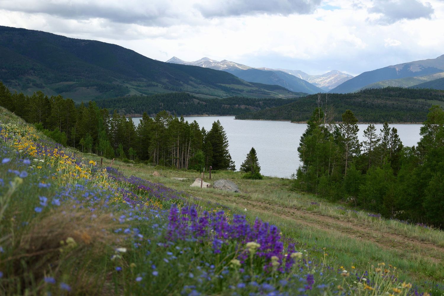
why elope in Summit County?
Summit County has unparalleled access to high elevation environments that are typically much harder to reach elsewhere in the state. You could get married on an alpine ridgeline, an open tundra, or a spot sweeping valley views with only a short hikes or scenic drive. The area makes it possible to experience dramatic mountain scenery without physical exhaustion or complicated planning.
Another key advantage is flexibility. A dense network of trails at varied elevations allows plans to shift easily based on weather and crowds. That adaptability is invaluable in the mountains and plays a huge role in why Summit County works so well for elopements. There are places for every level of accessibility, trails for every level of hiker, and plenty of locations and 4x4 roads that venture deep into the surrounding mountains for more secluded elopements.
when to elope
Late June through September is the most popular window for Summit County elopements. By early summer the snow is almost completely melted except for the high altitude trails, opening access to the higher lakes and tundra. Once July and August roll around the wildflowers are out at elevation, and long daylight hours allow for a longer elopement experience. Afternoon thunderstorms are still definitely a risk and should be considered for timelines.
September is one of the most sought after months. The aspen groves turn vibrant shades of gold, temperatures cool, and the mountains take on a crisp, autumn feel. Fall color season only lasts a couple of weeks, making flexibility and early planning especially important. Some places in Breckenridge are also restricted to shuttle access only on peak dates, such as Aspen Alley on Boreas Pass.
Winter elopements are something else entirely. From late November through April, the whole valley will be snowbound. While hiking access is limited, snowshoeing, backcountry skiing, dogsledding, gondola access, and easily reachable overlooks allow couples to create stunning winter elopements without venturing too far. While the mountain towns in Summit County is easier to access thanks to its proximity to Highway 285 and i70, these roads are still subject to weather closures at any point in time. Winter conditions require contingency planning, but the payoff is a quieter, more intimate setting in many areas.
most popular elopement locations
Sapphire Point Overlook
This is one of the most recognizable ceremony locations near Breckenridge. Perched above Dillon Reservoir, it offers panoramic views of the Tenmile Range with minimal walking. Because it is a designated ceremony site, it requires a permit and has strict group size limits. However, even if you book the ceremony site it does not guarantee you will have privacy. The trail is still public and people can still walk past. It works best for short, intentional ceremonies rather than long gatherings. And to answer everyone's pressing question that no one else seems to know- you can absolutely go up to Sapphire Point just to take some wedding photos, as long as you're not performing a ceremony or intentionally blocking people from the viewpoints.
** UPDATE FOR 2026**
A new ceremony site has been constructed on the north side of the loop and is the new reservable site, instead of the old stone overlook, which is no longer a ceremony site. The new site is the same walking distance starting from the right side of the parking lot. Privacy is still not guanranteed, but has a little more separation than the old site.
In addition, ceremony reservations now have two designated parking spots in the Sapphire Point lot. If you cannot fit all your guests in two cars, it would be a good idea to reserve a shuttle to ensure everyone can make it to the wedding, unless you want to play roulette with parking. (Not smart on the weekends).
**IMPORTANT NEWS**
As of April 13th, 2026, the southern half of Swan Mountain Rd from Breckenridge up to Sapphire Point will be closed for 14 weeks for road reconstruction. Sapphire Point will still be accessible from the Dillon side except for June 2nd - 20th and September 1st - November 15th 2026.
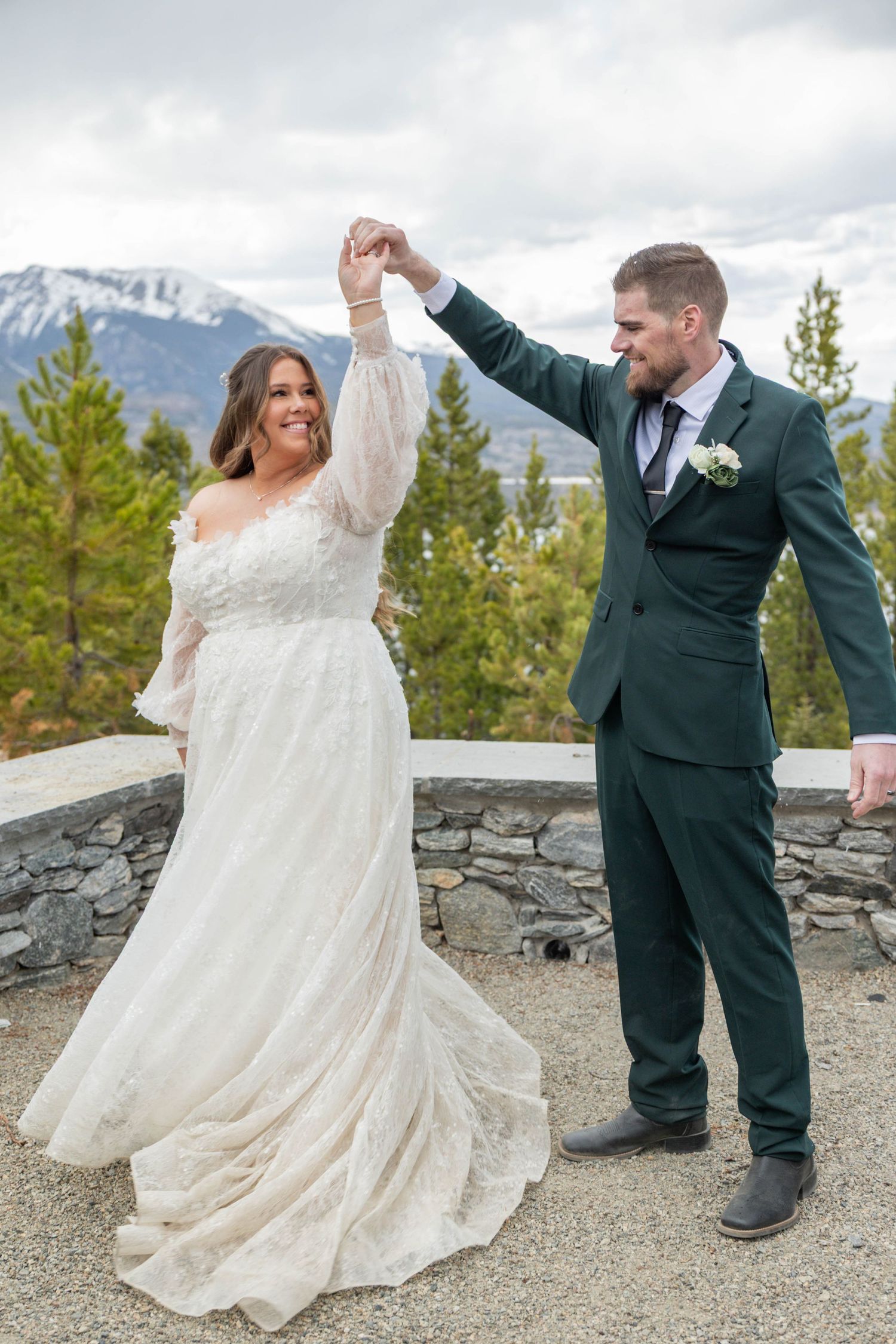
Boreas Pass
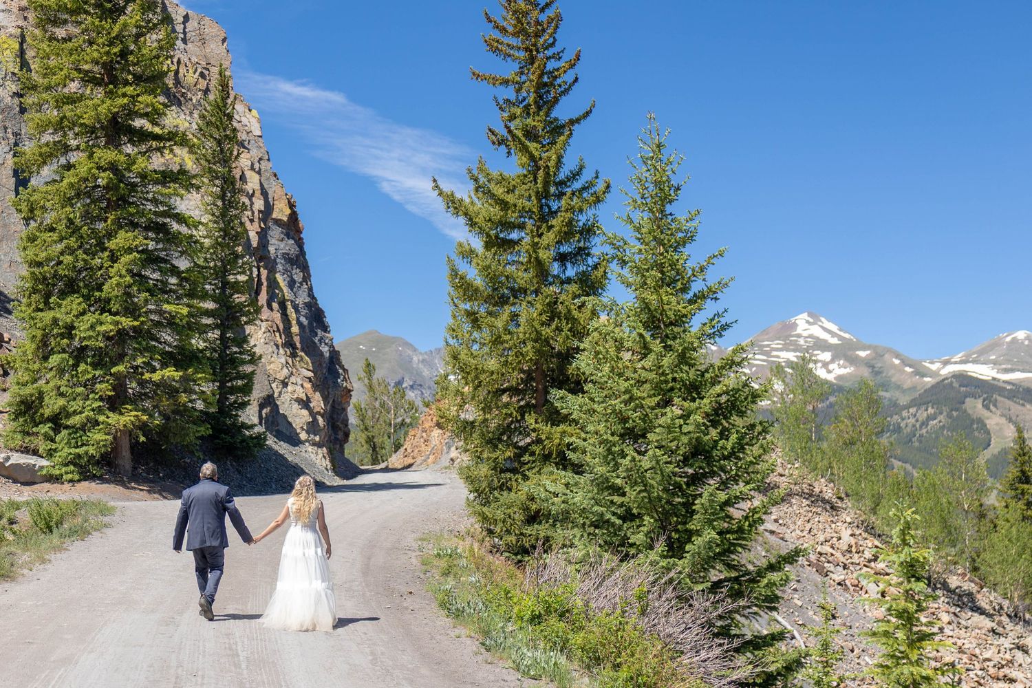
The pass follows along the side of a mountain high above Breckenridge on the east side of the valley. There is parking at the trailhead and the dirt road is both walkable and driveable to the summit. The first half mile or so winds through pine forests and some pretty severe rock cuts with gorgeous views of the Tenmile Range across the valley. Past this, the road heads up into what's known as Aspen Alley. For about a mile, the road heads through a tunnel of aspens before returning to pine forest the rest of the way to the summit. This is absolutely spectacular in the fall, once the leaves turn gold, but the regulations are strict. You can walk Aspen Alley in September as much as you want, but if you drive you're not allowed to stop within that mile of trees. There is also a shuttle from the Ice Arena to the trailhead in September when parking is limited.
For elopements, since the whole area is part of the Forest Service there is no permit required to elope as long as your group size is under fifteen people and you're not using any decor. The road is narrow the first few miles, with not many private places for the ceremony, but closer to the summit there are a few spots with sprawling mountain views. The summit itself is home to a ghost town consisting of three buildings and some railroad tracks, leftover from the 1800's during the mining boom. It's a good spot to make into an extended photo session, since it has several different environments and places to explore.
**UPDATE FOR 2026**
As of June 2026 the road is open to the summit from Breckenridge but the road is closed from the summit going down to Como for repairs. There has been no information as to when it will be open.
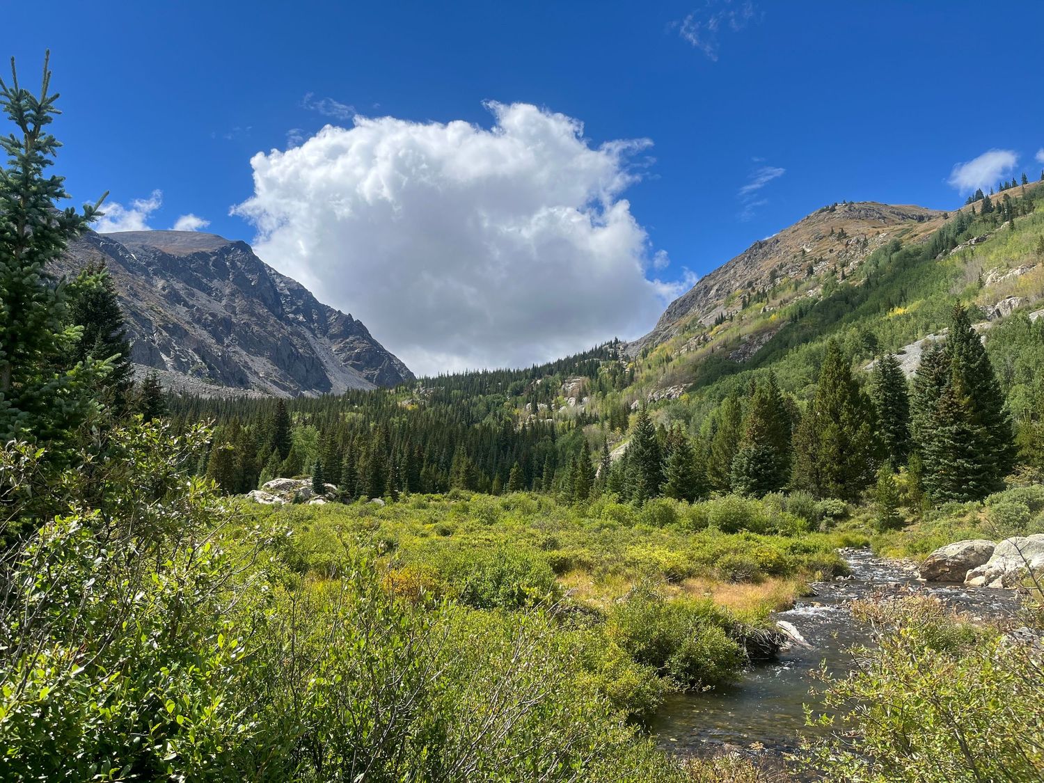
mccullough gulch & Quandary trail
This location is better for those who want more of a hiking elopement, but it's still an accessible option if you plan correctly. There are three possible trailheads to start this hike from, or a shuttle that leaves from Breckenridge and goes almost all the way up to the lake at the top of McCullough Gulch.
Lower McCullough Gulch trailhead is at the bottom of Hoosier Pass, and is a six mile round trip all the way up to the lake. The trail is steep but passes some old mining ruins with good views of both Quandary (to the west) and Red Mountain (to the east). Once you arrive at the dispersed camping, you have to turn left and cross the valley and continue up to the lake on the road.
The Upper McCullough Gulch Trailhead requires parking at the Quandary Trailhead and either taking the shuttle up the road to the trail or walking up the road itself. The walk from the parking lot is about seven miles round trip. The walk from the start of the trail is about three miles round trip.
The Quandary Peak trailhead starts out of the same lot and heads steeply up the mountain. It is seven miles round trip with 3,400 ft of elevation gain. Quandary Peak is a fourteener, so timing and packing should be planned accordingly.
All these locations are part of the National Forest, so like Boreas Pass you do not need a permit as long as you're not over fifteen people or using decor.
parking
Parking for the Lower Gulch Trailhead is first come first served. Parking for the Quandary lot must be reserved online between June 13th and September 13th, but is free after 3pm. If you plan to take the shuttle, you have to book it in advance and get on in Breckenridge.
old dillon reservoir
This short, beautiful hike is accessible from the Dillon Dam Road in Frisco. The parking lot is moderately sized, but since this is one of the easiest hikes for great views it can be crowded on weekends. The trail is a half a mile from the parking to the top, winding through pine trees first and then wildflowers and aspens. At the top, the Old Dillon Reservoir is more of a retention pond, but the area offers stunning panoramic views of the big Dillon Reservoir, the Tenmile Range, and Grays & Torreys Peaks.
There is no permit requirement for elopements, but since it's a popular trail there are not many opportunities for privacy. It is also located directly behind i70, and while the highway is not visible there is still some noise.
loveland pass
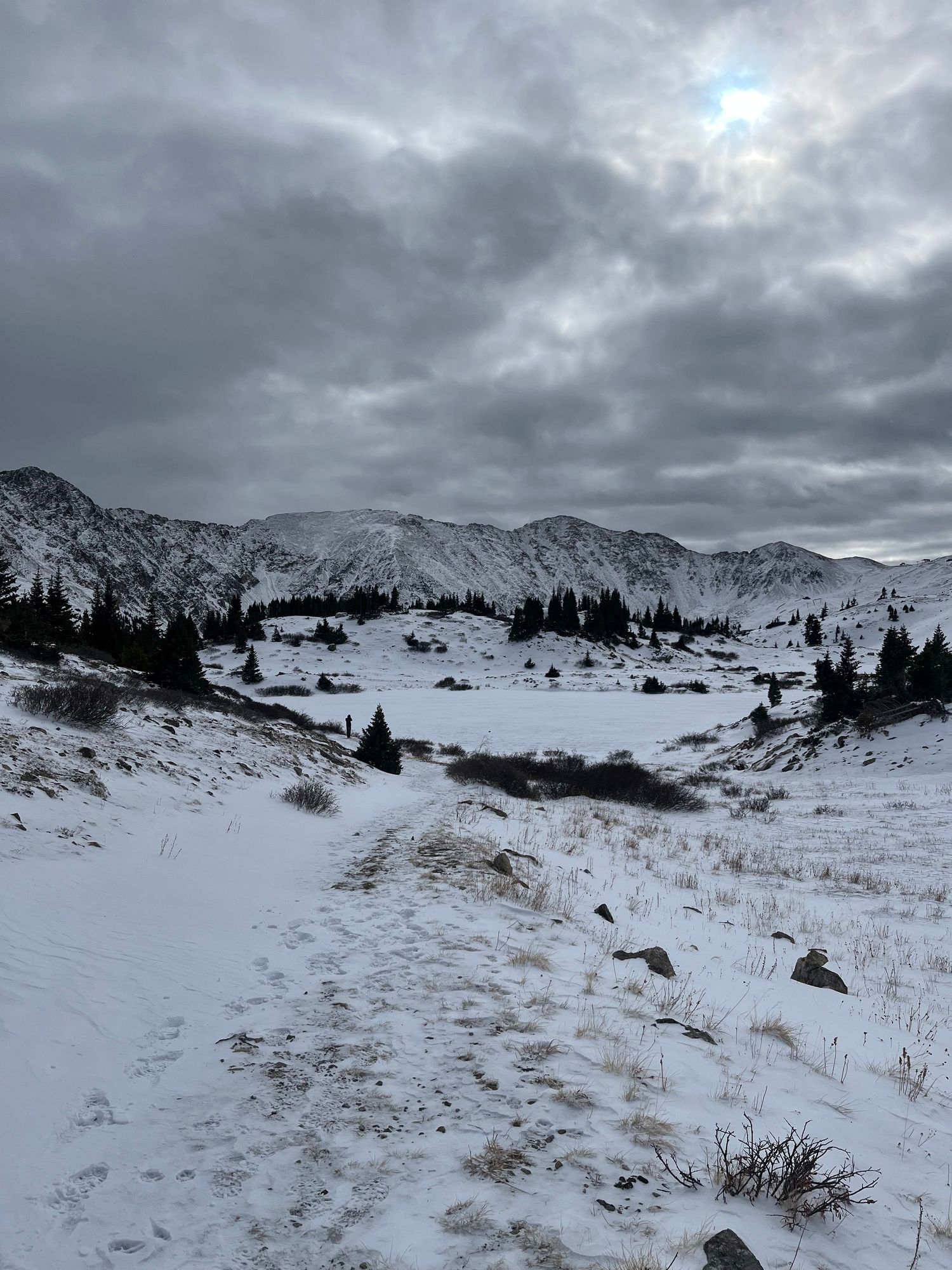
Loveland Pass is one of the most popular elopement spots in the area because of its beauty and accessibility. Pass Lake, at the top, is a short walk from the parking lot and is framed by panoramic mountains on all sides. The parking lot is not large, and the short road to it is not maintained in the winter or summer, so early weekday ceremonies and a 4WD car are the best options to avoid the crowds and get the best lighting. There is no parking permit required, it is first come first served, and it is national forest land so the same rules apply for ceremonies as the other locations above.
There are several beautiful places to stop along the pass, including Arapaho Basin Ski area on one side and multiple scenic stops and overlooks. It's a good area to elope with kids or elderly family members because of the easy access, but it is located at 12,000 ft so altitude must be taken into consideration for everyone's safety.
Interested in a Summit County elopement?